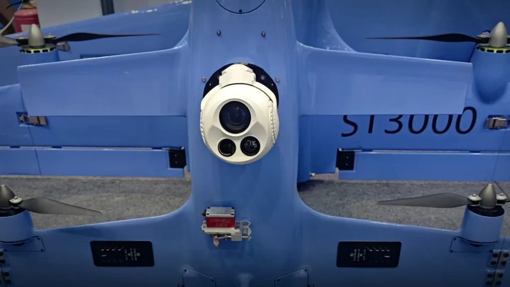
Field notes from the HITS engineering team: mission write-ups, technology explainers and payload selection guides for UAV imaging.
Read the newest material first, or use the topic cards below to move to a different part of the knowledge hub.
Knowledge hub
Payload selection, sensor choice and integration, written for UAV manufacturers, integrators and procurement teams.
Start with the mission, not the camera.
A payload that looks capable on paper can still fail the task if the sensor, lens, stabilisation and control chain are not matched to the aircraft and the operating environment.
The application defines the payload before the model number does. A power-line inspection aircraft may work close to conductors and need stable, high-zoom daylight detail; a maritime patrol aircraft may have to find a small vessel at long range and identify it after dark; a search-and-rescue crew may need a wide thermal sweep followed by a tight confirmation view. Each mission changes the sensor mix, lens, stabilisation, weight and control requirements.
This section groups those requirements by operating environment rather than by product family. It covers utility and renewable-energy inspection, maritime and offshore patrol, public safety and search and rescue, security, construction, mining, agriculture and environmental monitoring. The aim is to make the trade-offs visible before an aircraft is committed to a payload that cannot cover the full task.
A practical application brief should state what the operator must detect, recognise or identify; at what distance and in what light; how stable the view must be while the aircraft manoeuvres; and what the platform can carry in mass, power, mounting space and data link. Images or video of a typical scene are especially useful because they show contrast, clutter and the size of the target.
The field guide below expands these questions into a detailed application-to-payload framework. It can be read end to end or used as a checklist when a new mission is being defined.
• 01 Inspection and energy: Power lines, solar, wind and industrial assets.
• 02 Maritime and offshore: Long-range detection, night identification and sea state.
• 03 Public safety: Search, rescue, surveillance and perimeter patrol.
• 04 Survey and environment: Construction, mining, agriculture and forestry.
UAV camera applications rarely share one payload specification. A power-line inspection aircraft may fly close to conductors and need a stable, high-zoom daylight view. A maritime patrol aircraft may need to find a small vessel at long range, then identify it at night. A search-and-rescue team may need a wide thermal view for an initial sweep and a tighter field of view once a possible subject is located. The application determines the sensor mix, lens, stabilisation, weight and control requirements long before a model number is chosen.
Start with the task, not the camera
For each mission, we ask four questions. What must the operator detect, recognise or identify? At what distance and in what light? How stable and precise must the view be while the aircraft moves? And what can the platform carry in terms of mass, power, mounting space and data links? These questions turn a broad requirement into a payload brief that can be compared across models.
Target size and range are closely linked to field of view. A wide view helps an operator search a large area, but a small target may occupy too few pixels to identify. A narrow view improves detail at distance but makes the initial search slower. Optical zoom, sensor resolution and stabilisation therefore need to be considered together. Our guide to long-range gimbal camera selection explains how zoom, field of view and laser rangefinding interact.
Daylight, low light and thermal imaging answer different parts of the same problem. A visible-light channel provides colour and fine detail in good conditions. A thermal channel can reveal people, vehicles and heat differences after dark or through light obscuration. An EO/IR payload combines both channels so the operator can cross-check what each sensor sees. The choice between EO, IR and EO/IR gimbal cameras should follow the mission, not a preference for the largest sensor count.
Power line and utility inspection
Utility inspection rewards stable images and repeatable framing. The aircraft may work near towers, conductors, insulators and substation equipment, where a moving operator view makes small defects difficult to assess. A three-axis stabilised head with optical zoom is often useful because it can hold a steady view while the aircraft hovers or tracks along a line. Thermal imaging can add a second channel for joints and connections that show unusual heat. For close work, payload mass and mounting clearance matter as much as maximum range.
Review the UAV inspection payload options if the mission combines power lines, renewable assets and industrial structures. The same aircraft may be used for several inspection tasks, so a payload that can switch between wide situational awareness and detailed close-up views is often more practical than a single-purpose configuration.
Solar, wind and energy assets
Solar farms and wind sites combine large areas with small points of interest. A first pass may use a wide or medium field of view to locate a suspect row, blade or connection. A second pass needs enough resolution and zoom to inspect the finding without moving the aircraft dangerously close. Thermal imaging is useful where temperature differences reveal hotspots or mechanical problems, while daylight imagery helps with serial numbers, access routes and visible damage.
Payload choice should account for glare, weather and the working distance the operator can safely maintain. A stabilised thermal camera payload with a suitable lens and a daylight channel can reduce the number of passes over the site. For long linear assets, flight endurance and image stability can matter more than the highest possible sensor resolution.
Maritime and offshore operations
Maritime work is a long-range identification problem as much as a surveillance problem. Small vessels, buoys, personnel and offshore structures may appear against a low-contrast sea background. Spray, haze and low light add difficulty. An EO/IR payload with strong optical zoom and a thermal channel helps the operator detect a contact, hold it while the aircraft manoeuvres and then identify it at a useful distance.
Laser rangefinding can add useful distance information when the crew needs to relate a visual contact to a chart or another sensor. Stabilisation is critical in wind and aircraft vibration. The maritime and offshore payload guide covers vessel detection, night operations and the trade-offs between a compact two-axis head and a larger multi-sensor system.
Public safety, search and rescue
Search and rescue often begins with a wide-area sweep and ends with a close, stable view of a specific location. Thermal imaging can shorten the first phase when visibility is poor, while a daylight channel and optical zoom support confirmation and coordination. AI tracking may help an operator hold a moving subject, but it should be treated as an aid to the operator rather than a replacement for a clear image and a reliable control link.
Response teams also need to consider setup time, payload weight and the number of people required to operate the system. A lighter two-axis payload may be the better choice for a rapidly deployed multirotor, while a larger EO/IR system may suit a longer-endurance aircraft with a dedicated sensor operator. Our UAV surveillance payloads and night vision technology pages set out the relevant trade-offs.
Security and perimeter patrol
Perimeter patrol combines routine observation with the need to investigate an alert quickly. A wide field of view supports the routine scan; zoom and a thermal channel support the response. The payload should be easy to point, hold steady and return to a known orientation. Integration with the ground station and the operator’s existing procedures matters as much as raw sensor performance.
For sites with changing light, mixed terrain and moving people or vehicles, an EO/IR head with tracking can reduce operator workload. Review the UAV security camera systems page when the requirement includes perimeter, border or critical-site monitoring.
Construction, mining and survey
Construction and mining missions often need a clear record of progress, equipment placement and site conditions. A stable daylight camera with a useful zoom range can document a site from a safe altitude, while thermal imaging can reveal equipment or ground conditions that are not obvious in visible light. Survey teams may also need consistent framing across repeated flights, which makes gimbal control and repeatable orientation important.
Payload selection should reflect the smallest feature the team must record, the frequency of flights and the way the imagery will be reviewed. A compact EO camera payload may be sufficient for general progress records, while a multi-sensor head is more appropriate when several inspection tasks share the same aircraft.
Agriculture, forestry and environmental monitoring
Agriculture and forestry work covers large areas and varied terrain. A wide view helps with mapping and initial observation; zoom helps inspect a specific row, tree or drainage line. Thermal imagery can support moisture and heat-related observations, while daylight imagery provides context and colour. The aircraft’s endurance, the payload’s mass and the stability of the image during turns all affect how much useful area can be covered in one flight.
For environmental monitoring, the same principles apply: define the feature of interest, the altitude and the review method before choosing a sensor. A payload that is easy to integrate and operate consistently is often more valuable than one with specifications that cannot be used in the field.
A practical application-to-payload matrix
Wide-area daylight search: start with a stabilised EO payload, a medium-to-wide field of view and enough zoom to confirm a finding. Night detection: add a thermal channel and check the detector resolution and lens against the expected target size and range. Long-range identification: prioritise optical zoom, image stability, atmospheric conditions and, where useful, laser rangefinding. Moving targets: consider three-axis stabilisation and tracking, then confirm how the operator can take over or release the track. Small or weight-limited aircraft: compare two-axis heads and compact EO/IR options before adding sensors the platform cannot comfortably carry.
What to include in an application enquiry
A useful enquiry does not need a full technical dossier. It should state the aircraft type and approximate payload capacity, the mounting location, available power and control interfaces, the target and expected range, whether the mission is day or night, the environment, the number of units under consideration and the date by which an evaluation is needed. Images or video of a typical scene are especially helpful because they show contrast, clutter and the size of the object the operator must find.
Send those details through the contact page and our team can compare the application with the payload range, identify the information still missing and recommend a practical next step. If the mission is still being defined, start with the target and the aircraft constraints; the sensor and model shortlist can follow from there.
Not sure which payload fits? Get payload recommendations for your UAV mission. Share the scene, range and platform details, and we will help narrow the options before a sample or integration discussion.
Use the application guides with a real mission brief
The most useful way to read this section is with a live requirement beside you. Write down the platform, payload allowance, mounting point, expected operating distance, target size, light conditions and the decision the operator must make from the image. Those details turn a broad request for a camera into a payload specification that can be compared across configurations.
If the mission combines several tasks, separate the primary requirement from the secondary ones. A search aircraft that also needs to identify a small vessel after dark should not choose a daylight camera first and add thermal capability as an afterthought. Likewise, an inspection aircraft that needs occasional thermal views may be better served by a dual-sensor payload than by carrying two separate systems and changing equipment between flights.
What a useful payload enquiry should contain
Send the aircraft type, maximum payload mass, power available at the mount, control and video interfaces, operating environment and the smallest object that must be detected, recognised or identified. State whether the requirement is for a prototype, a pilot batch or series production, and include the date by which the evaluation must be complete. A short video or sample image of the scene is often more informative than a long written description because it shows contrast, clutter and atmospheric conditions.
HITS can compare the application with the EO, thermal, EO/IR and laser-designator payload range, then identify the information still missing before a sample is ordered. Discuss your UAV mission with the engineering team when you are ready to turn the operational requirement into a shortlist.
Payload decisions touch mission design, optics, airframe integration and procurement. Choose the topic that matches the decision in front of you, or follow the category links into the technical detail.
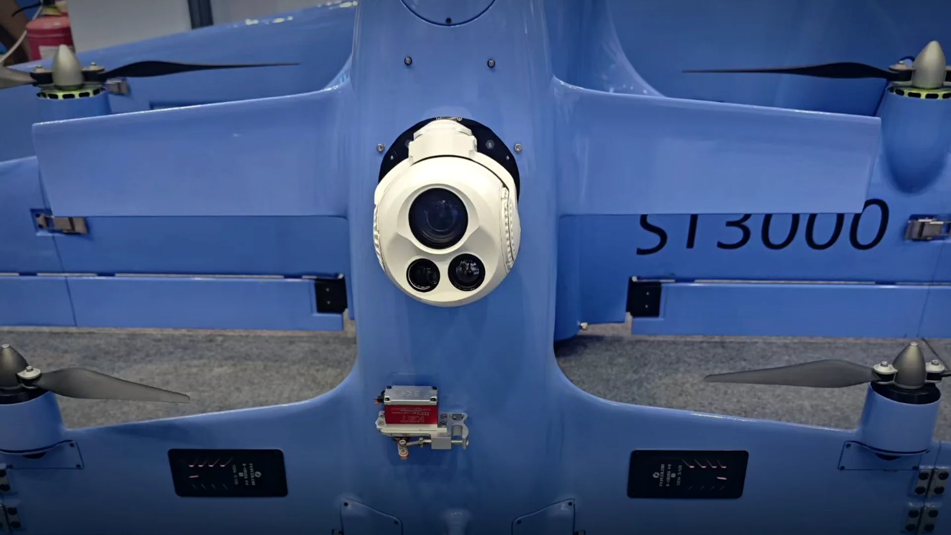 Applications1 article
Applications
Mission profiles, operating environments and payload trade-offs for inspection, patrol, search and survey work.
Explore topic →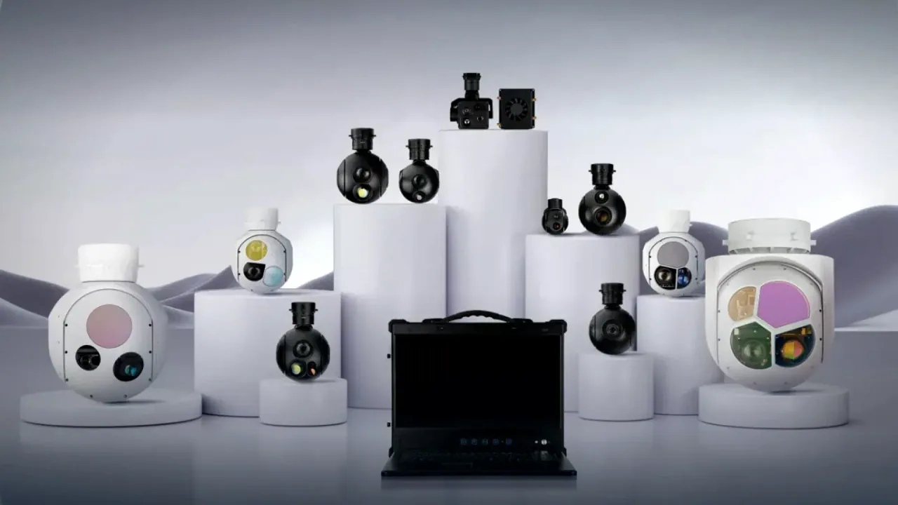 Technology5 articles
Technology Explained
Sensors, optics, stabilisation, video links and onboard AI explained for UAV engineering teams.
Explore topic →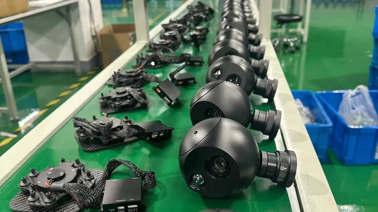 Guides5 articles
Buying & Integration Guides
Procurement, supplier evaluation, integration and flight-test checklists for UAV programmes.
Explore topic → News2 articles
News & Projects
Manufacturing, product development and field updates from across HITS.
Explore topic →Share the platform, mission and constraints. HITS can compare EO, thermal and EO/IR options, then confirm the integration details that shape the shortlist.
WhatsApp us